“Effects of demolishing abandoned buildings on firearm violence: a moderation analysis using aerial imagery and deep learning”
Injury Prevention
Action Insights


Last Updated
Topic
Data and Evidence
Location
North America
Which abandoned properties should rise to the top of the demolition list? Since workloads often exceed and outpace government resources, prioritizing work strategically is a critical capability. A study supported by the Bloomberg Harvard City Leadership Initiative demonstrates how combining satellite imagery and police data can help inform how to allocate resources in code enforcement.
Read the Action Insights below, or download as a PDF for use later.
How does your city prioritize projects? Do you work your way down a long list using the first-in, first-out method? Are decisions motivated by politics or the “squeaky wheel gets the grease” principle? Or are you strategically assessing what would increase the quality of life in your city the most? When it comes to selecting which abandoned buildings to demolish, a recent study from the Bloomberg Harvard City Leadership Initiative suggests that leveraging multiple datasets can help cities focus on impactful projects that aim to promote safer environments for their residents.
Research has already shown that demolishing abandoned buildings can be a strategy for reducing firearm violence up to several blocks away. In this study, researchers explored Rochester, New York’s abandoned building demolition decisions over a ten-year period, the effect of demolishing buildings on reducing nearby gun violence, and the characteristics that surrounded the demolished properties. They found that information beyond the condition of the building itself—namely data about the surroundings of demolished buildings—affects how successful a demolition will be at reducing nearby shootings in subsequent years. And to see the larger picture, they used freely available “big data”—in this case, aerial imagery.
The City of Rochester, in Upstate New York, is home to roughly 200,000 people. Many of its residents experience poverty and segregation, both of which can contribute to incidence of firearm violence. (In Rochester in 2021, there were over 400 victims of gun violence.) These tragic instances are recorded in a publicly accessible database of fatal and non-fatal shootings maintained by the city’s police department. By pairing this data with publicly available city administrative data on building demolitions in Rochester, the researchers were able to study how demolishing buildings affected firearm violence in surrounding areas (of 500 by 500 feet or approximately 152 by 152 meters). They found that each demolition was associated with a 14 percent reduction in shootings the following year. When they measured the cumulative effect of demolitions over an 11-year follow-up period, each demolition was associated with a 2 percent yearly drop.
The research team then wanted to see if a demolished building’s surroundings affected gun violence. To assess that, the team accessed publicly available, high-resolution aerial imagery—in addition to the shootings and building demolitions data—and then used machine learning to analyze the images.2 They determined that some demolition decisions were better than others at reducing firearm violence in Rochester, as discussed in the following section.
To better understand the city’s built environment, the team classified the surroundings of each demolition studied into categories that ranged from high-density areas with many street connections and smaller lots to lower-density areas with more single-use buildings.
The research team found that after a demolition in a dense, mixed-use area, shootings dropped by 15 percent the following year. While these short-term effects were promising, the less-dense areas told a different story. In moderate-and lower-density areas, while an effect was not evident in the short term, when the researchers measured the cumulative effect of demolitions over an 11-year follow-up period, each one was associated with a 9 or 10 percent decrease in gun violence. In other words, the characteristics of the demolished buildings’ surroundings—such as land use, density, and how connected it was by streets—all contributed to how effective demolishing a building would be at reducing gun violence in both the short term (next year) and longer term (after 11 years of follow-up). The table below offers a summary of the study’s findings.

Overall, the study suggests that demolitions in low- and moderate-density areas achieved sizeable long-term results. In addition, in high density areas, demolitions achieved sizeable short-term effects, but the resulting vacant lots in these areas require investments to ensure long-term effects. For instance, unlike when vacant lots remain abandoned and uncared for, maintaining these properties can help reduce violent crime; and cities might look to community organizations to help. (For one example of a city reaching out to the community to engage in beautification, see Operation Clean Sweep in Buffalo, New York.)
City leaders can prioritize demolitions strategically and allocate limited resources optimally by using abundant data that is readily available. This allows them to be more effective (in reducing crime and improving quality of life in neighborhoods), efficient (accomplishing as much as possible with limited resources), and equitable (prioritizing the needs of the most vulnerable or disadvantaged). To do so, they need to:
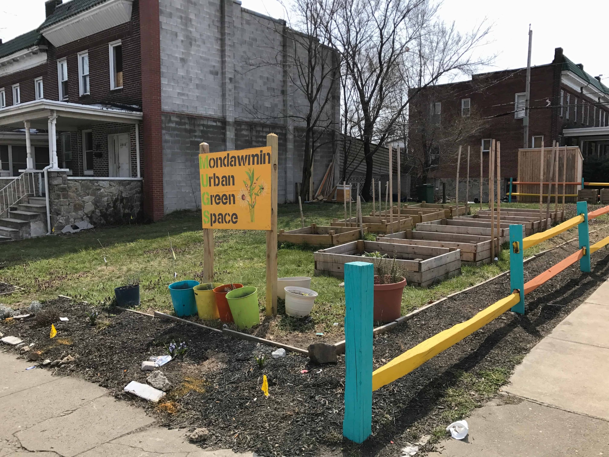
Demolishing distressed properties can have a positive impact on communities by reducing gun violence and having beneficial effects on public health, the environment, property values, and general quality of life. Furthermore, engaging residents to rethink the resulting open space can provide opportunities for community building. Large-scale disrepair and abandonment are often the product of longstanding, racialized disinvestment arising largely from past policy decisions, and approaching this work from a racial equity perspective is critical, given the history of redlining3 and other forms of racial segregation in American cities. When building a scoring system based on expected impact, incorporating the notion of equity from a broader social, economic, and historic perspective will make for fairer decisions.
While this study focused on reducing gun violence through targeted demolition programs, these lessons are applicable beyond code enforcement and demolitions. City leaders face the challenge of diagnosing complex problems with limited information and responding with limited resources. Learning where and how interventions are most impactful can make city halls more effective, efficient, and equitable across the board.
1 This article was written by Lisa Cox, Jonathan Jay, and Jorrit de Jong. The research team includes Jonathan Jay, Jorrit de Jong, Marcia P. Jimenez, Quynh Nguyen, and Jason Goldstick.
2 The research team employed a cutting-edge type of algorithm, called a convolutional neural network, as part of the machine learning analysis process.
3 “Redlining was the practice of outlining areas with sizable Black populations in red ink on maps as a warning to mortgage lenders, effectively isolating Black people in areas that would suffer lower levels of investment than their white counterparts.” (Source: Andre M. Perry and David Harshbarger, “America’s formerly redlined neighborhoods have changed, and so must solutions to rectify them,” Brookings, October 14, 2019.)
Injury Prevention
Bloomberg Harvard City Leadership Initiative
PloS One
Joint Center for Housing Studies of Harvard University
More Resources Like This

Action Insights
Strategic Leadership and Management

Action Insights
Strategic Leadership and Management
Guide
Collaboration